Driving Directions for Deadwood, South Dakota
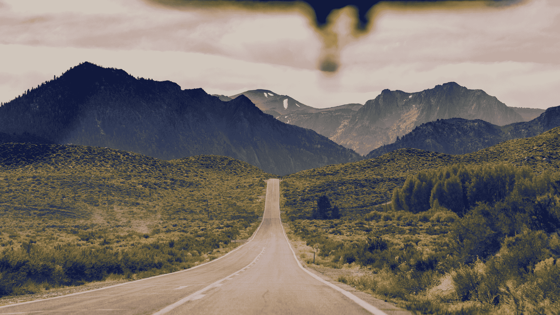
Getting around Deadwood, South Dakota, is as much a part of the experience as the destination itself. Surrounded by the scenic beauty of the Black Hills, the town is easy to access by car and offers plenty of routes that connect you to nearby attractions, historic landmarks, and outdoor adventures. Whether you’re arriving from nearby destinations, exploring the winding mountain roads, or heading out to surrounding towns, driving through this region is both simple and rewarding.
Directions to Nearby Ski Slopes
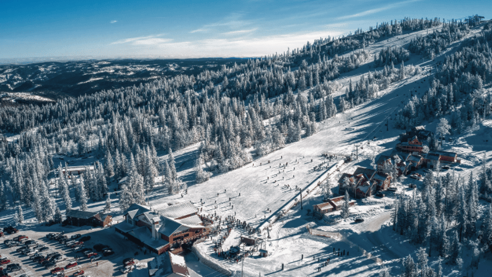
Deadwood to Terry Peak
Just a short drive from Deadwood, Terry Peak Ski Resort is easily accessible for a day on the slopes. The route winds through the Black Hills, offering scenic views as you make your way up to one of South Dakota’s most popular ski destinations.
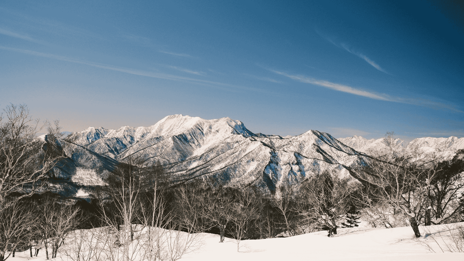
Deadwood to Deer Mountain
Deer Mountain sits only minutes from Deadwood, making it a convenient spot for winter fun. The drive takes you through peaceful stretches of the Black Hills, leading straight to the base where skiing and snowboarding await.
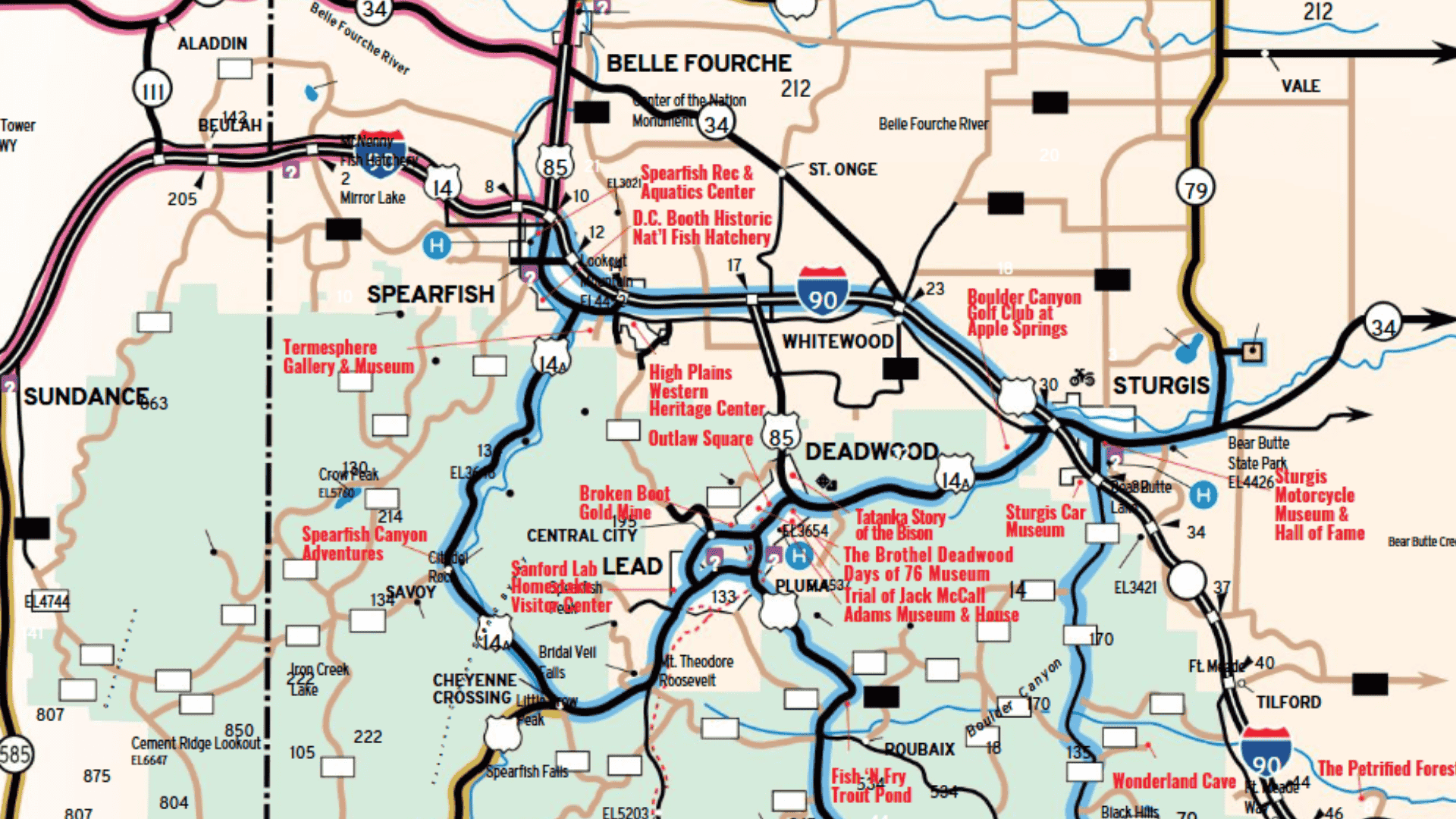
Northern Black Hills Map
Use the area map below to plan your Black Hills vacation. Many of South Dakota’s major attractions like Custer State Park and Mount Rushmore are located near our Black Hills vacation rentals.