3‑Night / 4‑Day Waterfall‑Focused Itinerary
Nestled in the heart of the Black Hills, Deadwood is the perfect base for exploring some of South Dakota’s most stunning waterfalls. Just a short drive along the scenic Spearfish Canyon, you’ll find cascading falls set against dramatic cliffs, lush forests, and winding streams.
This 4-day itinerary guides you to the best spots - including Roughlock Falls, Spearfish Falls, and Bridal Veil Falls - complete with trail details, parking tips, and seasonal advice, making it easy to plan a nature-filled adventure that combines scenic drives, easy hikes, andunforgettable photo opportunities.
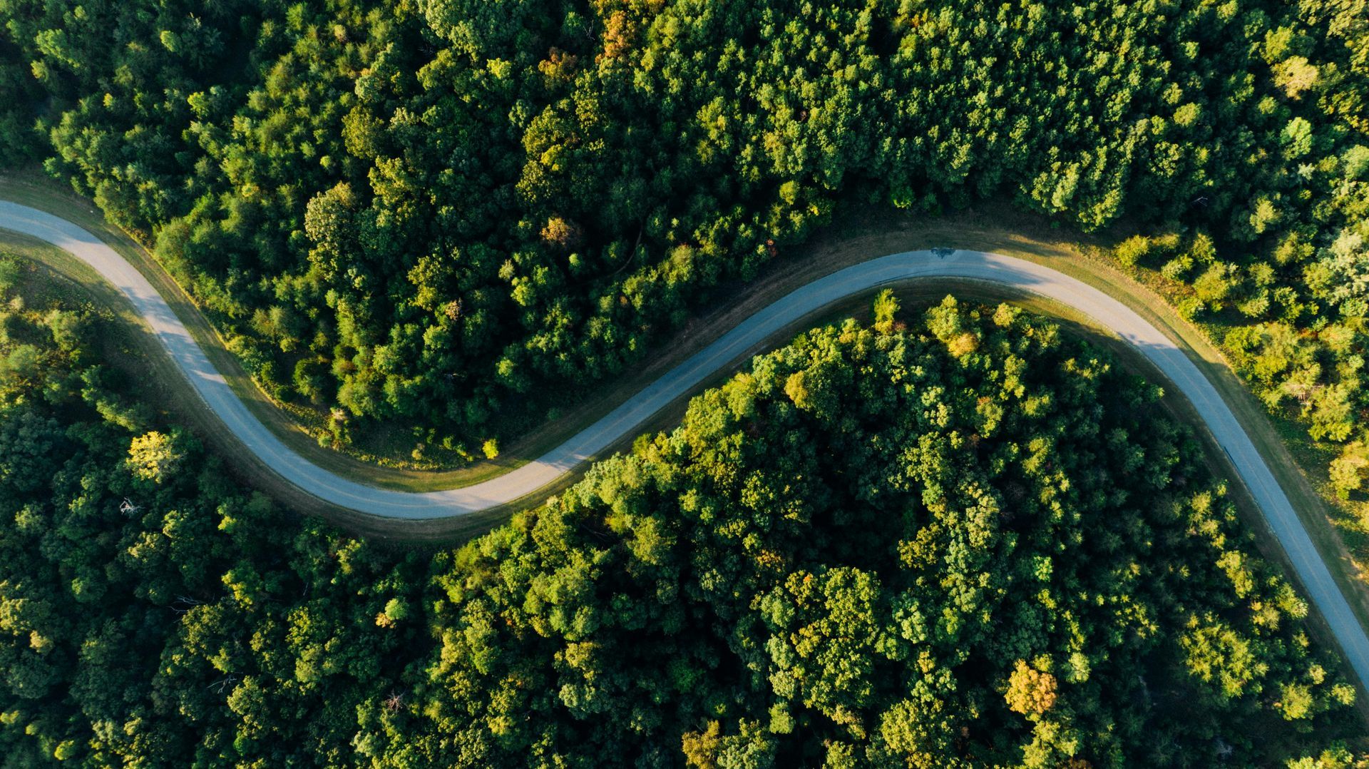
Most waterfalls near Deadwood are along Spearfish Canyon Scenic Byway (US‑14A) in the Black Hills, about 30–45 minutes south of Deadwood.
Day 1 – Arrival in Deadwood & Local Sights

Afternoon
Arrive in Deadwood and check into your Deadwood Connections accommodations. Then, go stroll historic downtown.
Early Evening
Visit Mount Moriah Cemetery for sunset (history + views).
Night
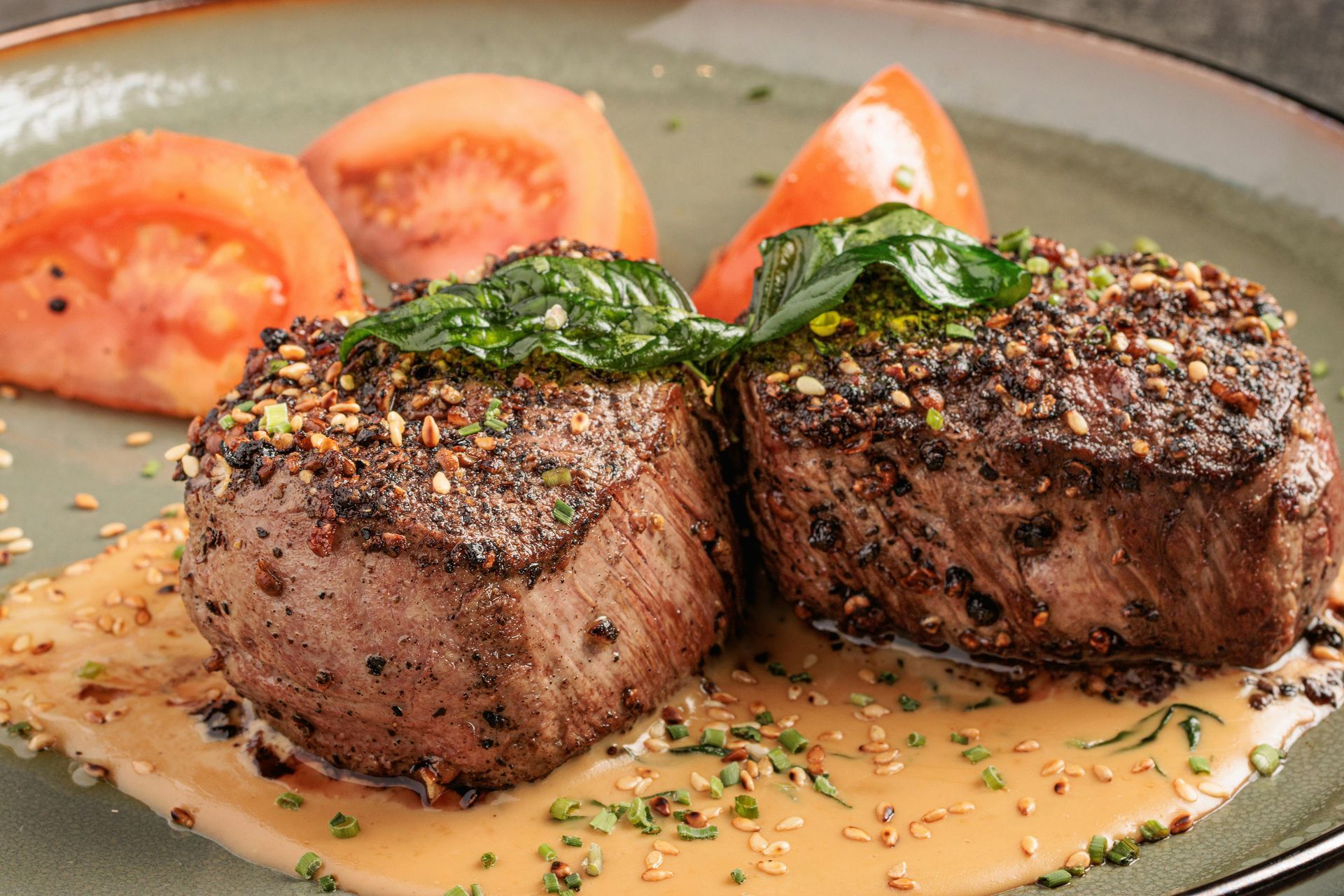
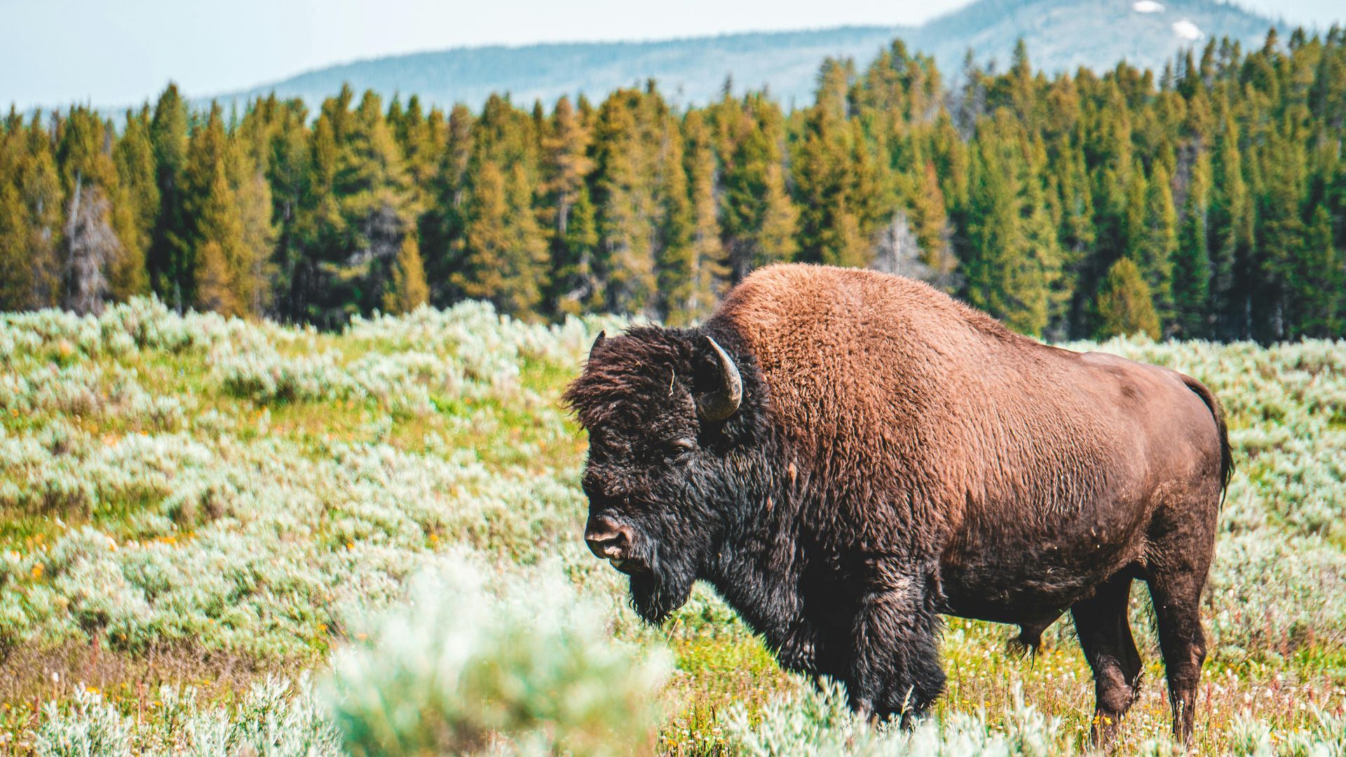
Treat yourself to a memorable meal at Legend's Steakhouse in Deadwood, where hearty bison and steak dishes pair perfectly with a historic atmosphere
Then check out the nightlife, or ghost walks
Day 2 – Spearfish Canyon Waterfalls
Morning
Drive Spearfish Canyon Scenic Byway south. First stop: Bridal Veil Falls (~30–40 min from Deadwood).
Make sure to take photos from the viewing platform!
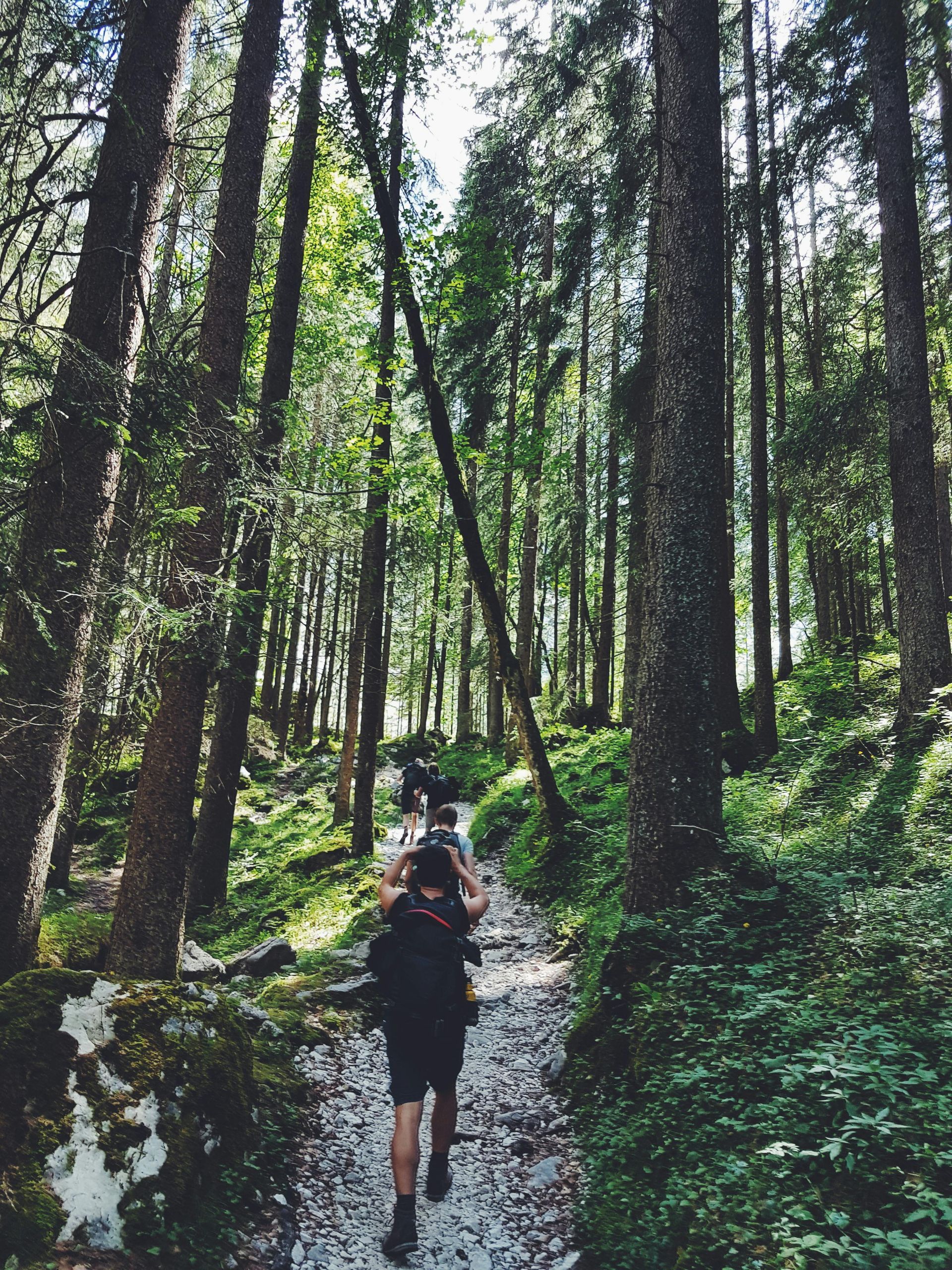
Then, Continue to Spearfish Falls (easy ~1mi hike). Pack snacks.
Afternoon
Head further into Spearfish canyon to Roughlock Falls - longer trail time, bring a picnic & eat by the area near the Creek.
Evening
After your adventures, enjoy dining at the Latchstring Restaurant in Spearfish offers homestyle comfort food just minutes from the trails
Then return to your Deadwood Connections accommodations & rest up for the next day
Day 3 – Spearfish Canyon + Devil’s Bathtub
Morning
Drive deeper into Spearfish Canyon — enjoy scenic pull‑offs.
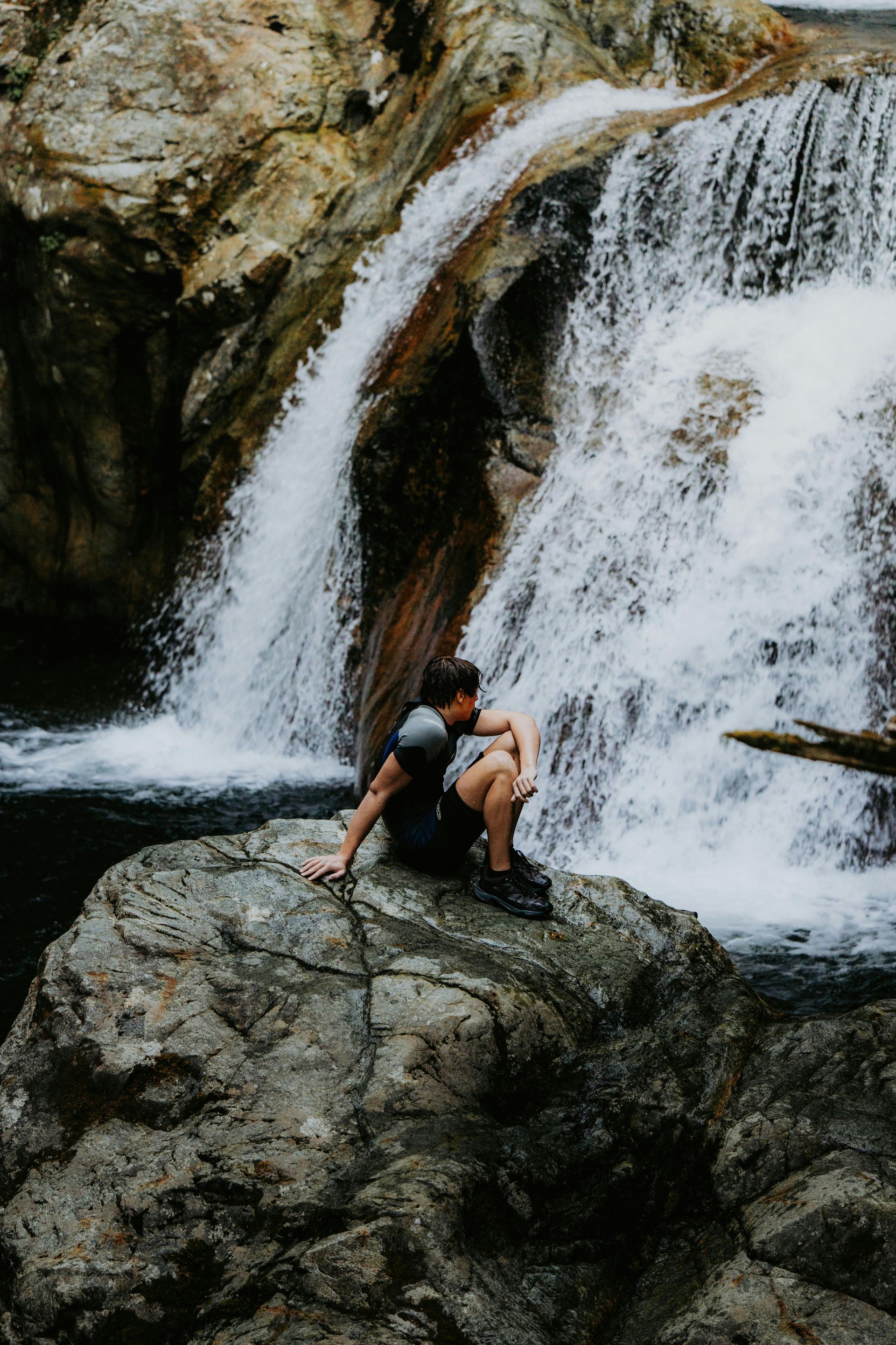
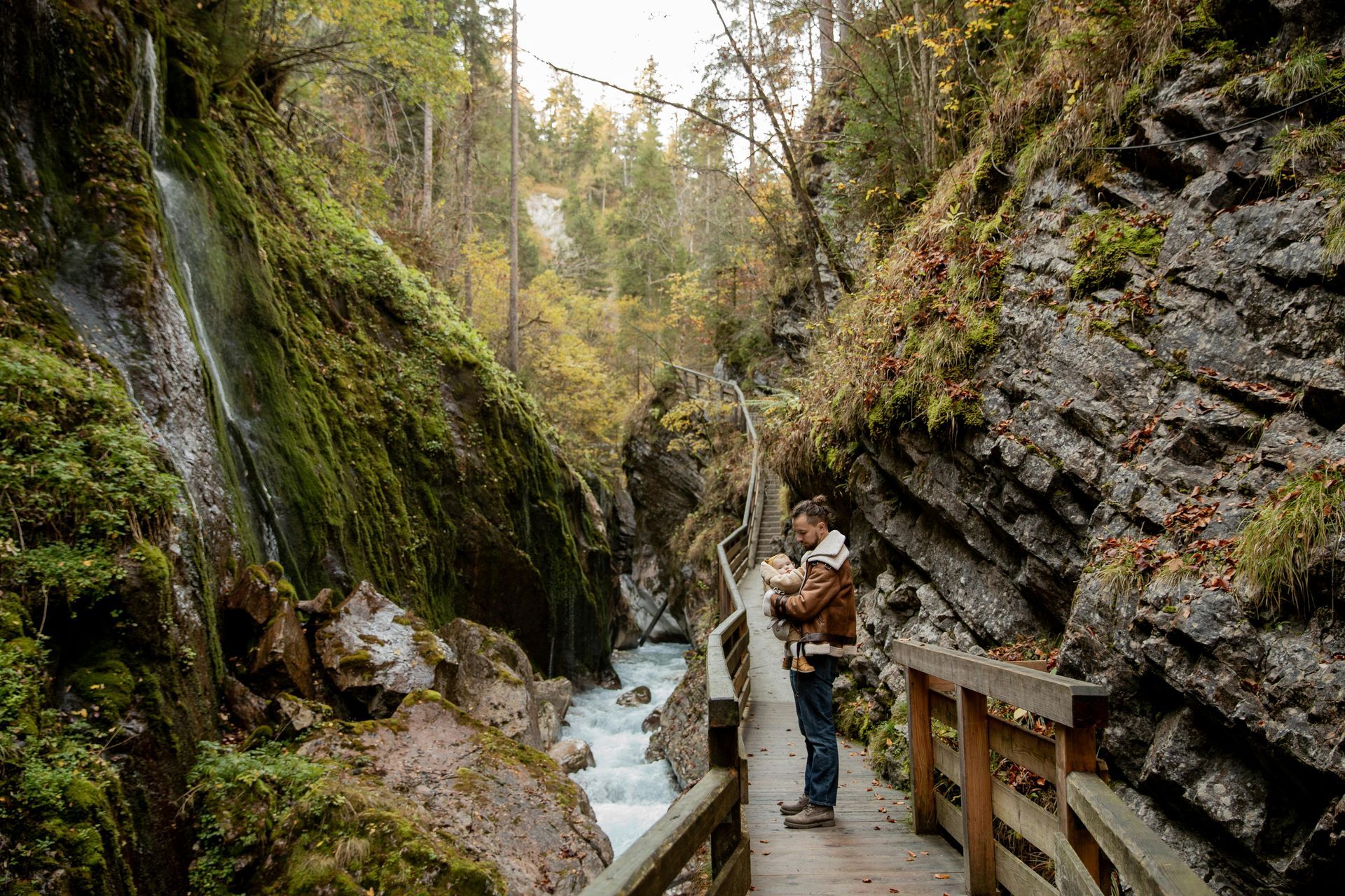
Optional add‑on: Devil’s Bathtub hike (~1.5–2 mi, moderate with creek crossings).

Evening
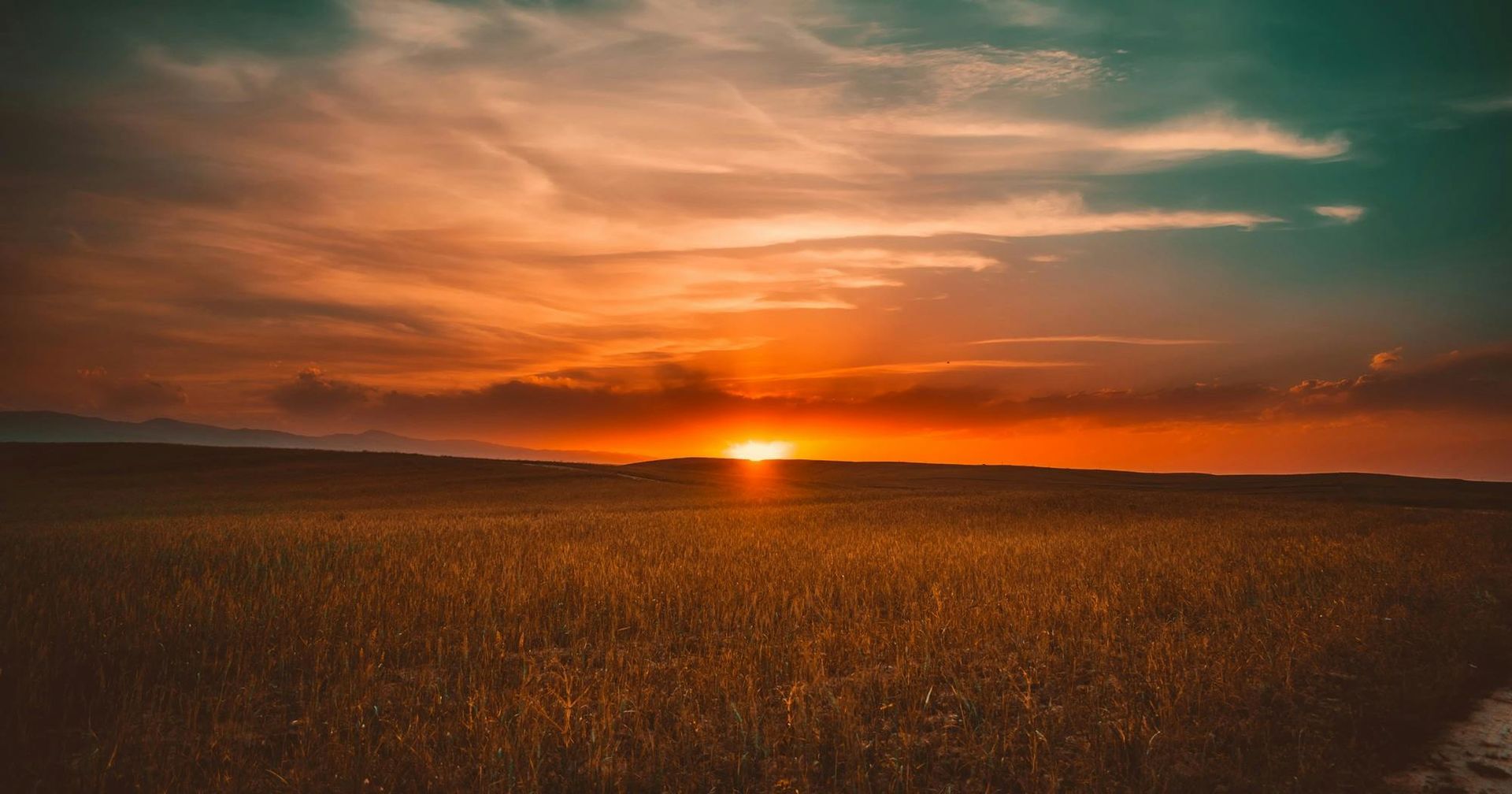
Sunset photography back in Deadwood, or casual hike near Spearfish (e.g., Lookout Mountain).
Back in Deadwood, enjoy Saloon No. 10 – Iconic Deadwood saloon offering classic American fare and a slice of history; casual and fun.
Day 4 – Scenic Drive & Departure
Morning
Check out of your Deadwood Connections accommodations.
Then have a morning drive to Iron Mountain Road / Needles Highway (if open seasonally).
Late Afternoon
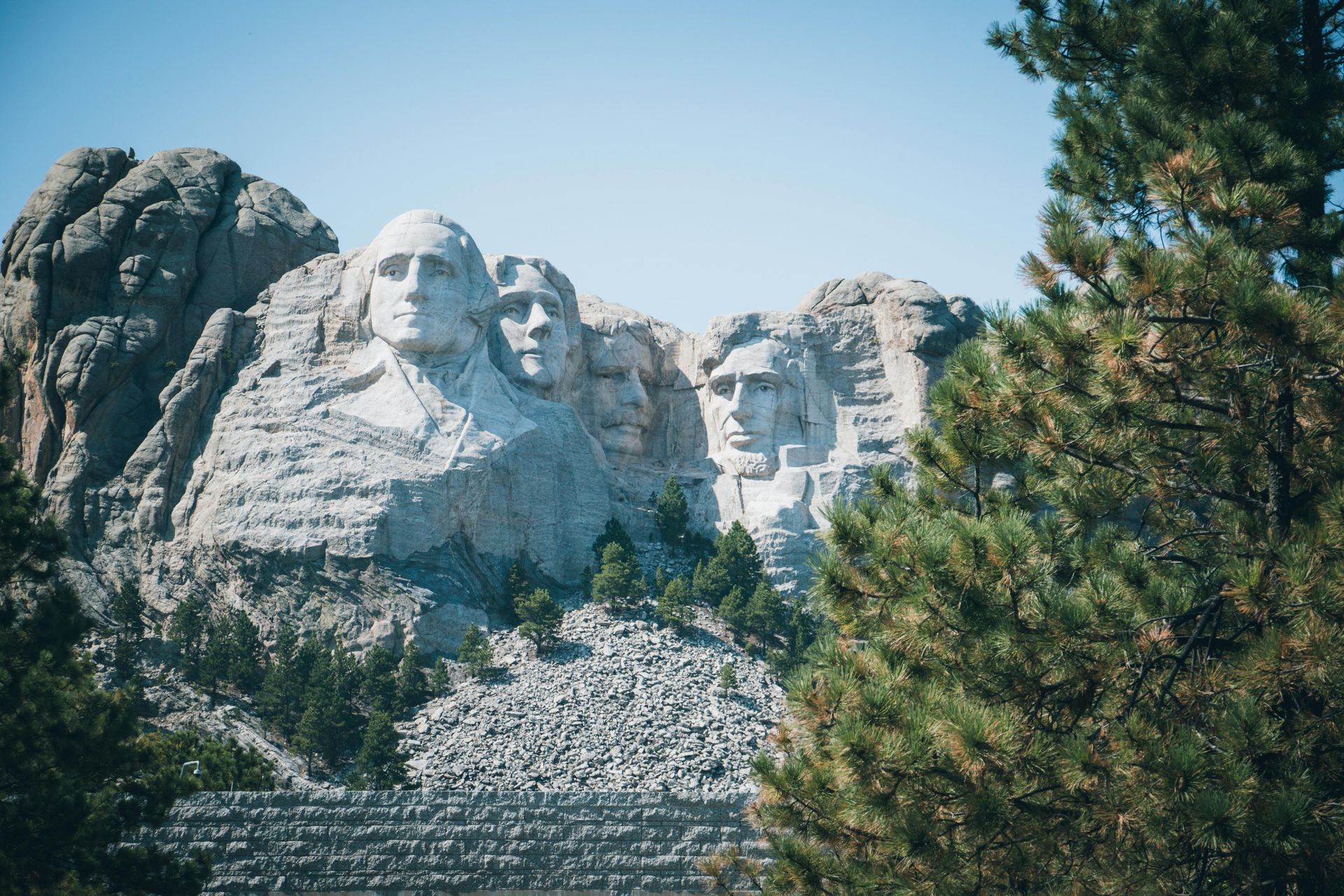
Return home via Rapid City or surrounding attractions (Mount Rushmore ~2‑3 hrs from Deadwood).
Seasonal & Safety Tips
Best Seasons
Late Spring to early Fall offers best waterfall volume and hiking conditions.
Summer gives full scenic drives and wildlife viewing.
Winter Considerations
Spearfish Canyon Road may remain open, but snow/ice make roadside and trails much more hazardous, and some service roads are closed mid‑Dec to March.
What to Pack
- Layers (weather can change quickly)
- Good hiking shoes
- Water + snacks
- Camera & binoculars
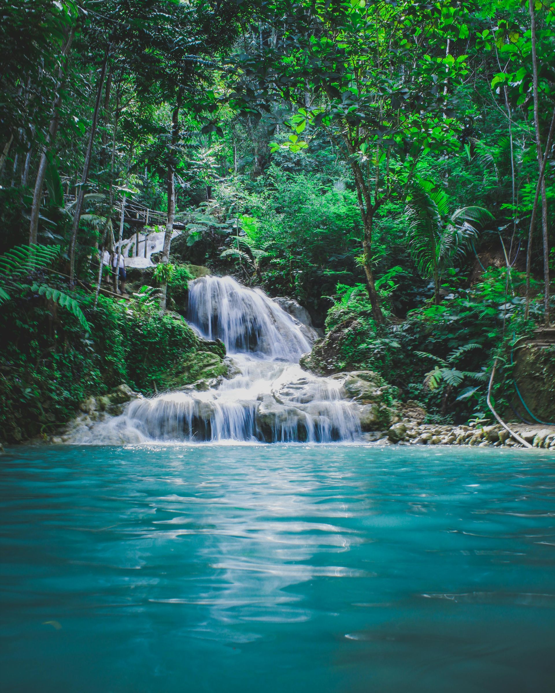
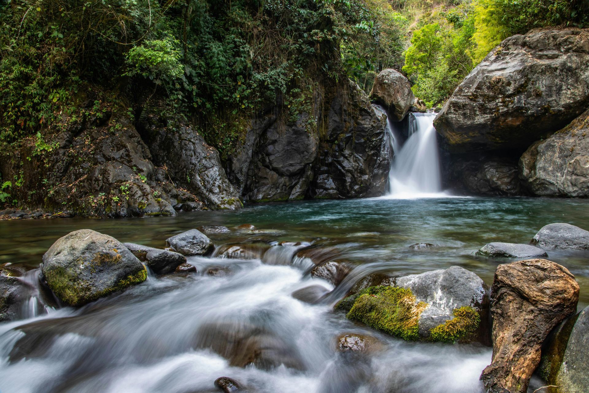
Waterfall Descriptions
1) Roughlock Falls (Spearfish Canyon Nature Area)
- Distance from Deadwood: ~20 miles / ~30 min drive (toward Spearfish/Lead)
- Trail: Paved, easy walk from parking — mostly flat with viewing platforms. Typical out‑and‑back ~1–2 miles round‑trip depending on route.
- Parking to Falls: Only about 0.5 mi / 0.8 km walk if parked right at the falls lot (or ~1 mi along the creek if starting from farther lot).
- Best Season: April through October for full water flow and warm weather. Winter access on the main trail is possible but road is closed mid‑Dec–March; trail still open at your own risk
- Coordinates: ~44.3499° N, –103.9430° W
2) Spearfish Falls
- Distance from Deadwood: ~22 miles / ~35 min
- Trail: Easy hike (mostly forest path and gentle grade); about 0.7–1.5 miles round‑trip depending on route you choose.
- Parking to Falls: Trailhead is right off Spearfish Canyon Scenic Byway near Latchstring Restaurant and Spearfish Canyon Lodge.
- Best Season: Spring–Fall are best for water volume and traill conditions. In winter, icy conditions can make access difficult.
- Coordinates: ~44.345° N, –103.937° W (est. based on byway location)
3) Bridal Veil Falls (Spearfish Canyon)
- Distance from Deadwood: ~25–26 miles / ~35–40 min
- Ease: Very easy roadside stop — view from a platform right near Hwy 14A with short, optional creek approach.
- Best Season: Spring / early summer brings highest water flow; flows decrease later in summer.
- Coordinates: ~44.4170° N, –103.8808° W
⚠️ Thunderhead Falls near Rapid City / US‑16 area is reported closed and not reliable as a public waterfall destination; avoid planning it as part of this itinerary.